US Topo Maps
Category : Travel and Navigation
Author Name : US Topo Maps
Operating System : android
License : Free
Rating : Everyone
US Topo Maps Download Links for Android
US Topo Maps Screenshot
About US Topo Maps Android Application
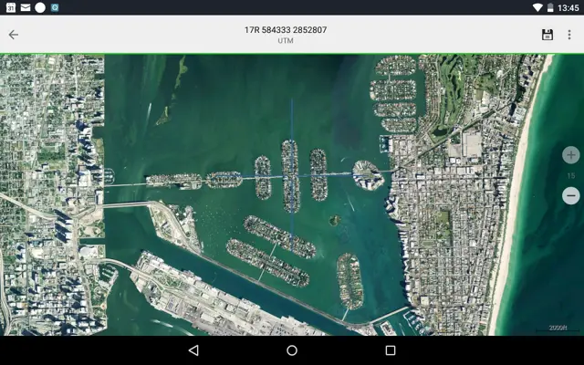
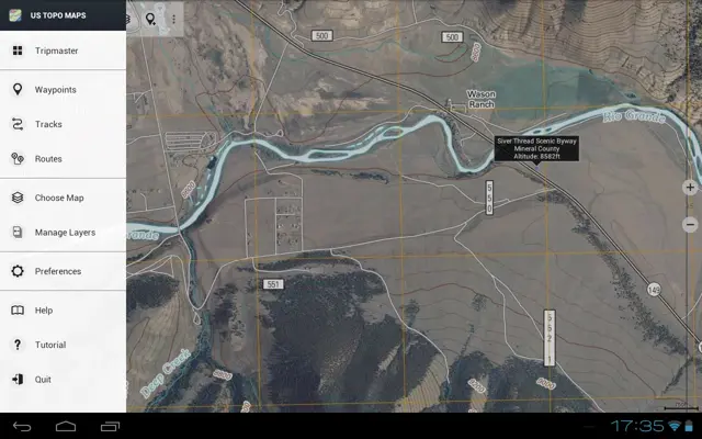
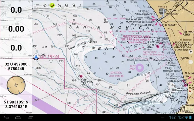
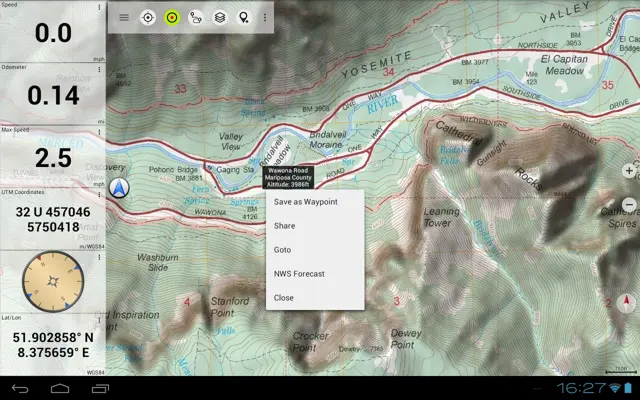
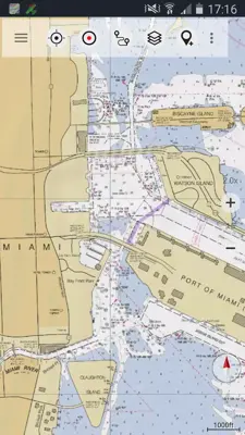
US Topo Maps is a top-notch outdoor navigation tool that amps up your adventure game in the USA. It's got a massive library of free maps and aerial views, making trip planning and navigation a breeze. Whether you're hiking, biking, or just getting lost in nature, this app has got you covered. You can choose from over 30 map layers, including USGS National Map Topo, NOAA Nautical Charts, and even specialized elevation maps.
Application Official Website
https://www.atlogis.comApplication Support Email
[email protected]Application Main Features
- Free access to high-quality maps and aerial imagery.
- Compatible with various outdoor activities (hiking, camping, biking, etc.).
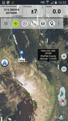
- Extensive map layer selection (over 30) including USGS National Map Topo, aerial imagery, and specialized data.
- Worldwide basemap layers for international adventures.
- Customization through toggling or superimposing different map layers.
- Offline map usage for remote areas.
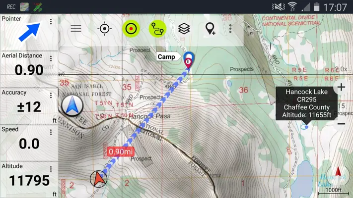
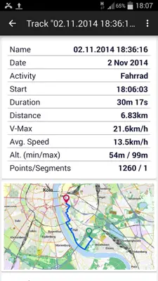
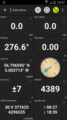
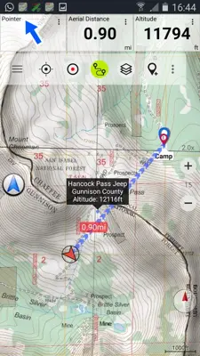
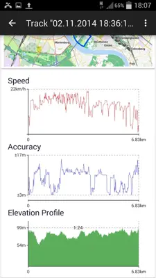
- Comprehensive navigation features (path measurement, waypoint creation, route creation, track recording, tripmaster).
- Import, export, and sharing of GPS data in multiple formats.
- Overlays such as hill shading, motor vehicle use, and contour lines for enhanced navigation.
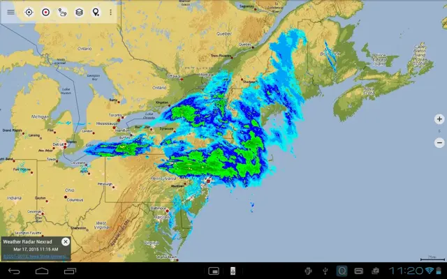
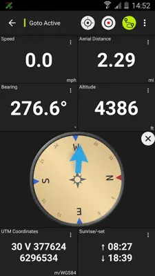
- Additional features like animated NEXRAD rain radar, customizable data fields, and place of interest search.
Application Ratings
4.6
1
2
3
4
5
The content is rewritten by Gemini Ai ,Published Date : 1/3/2024 , Modified Date : 1/3/2024
